The Hunting & Fishing Magazine of the Dakotas!
SUBSCRIPTION LOG IN
OMAHA -- The U.S. Army Corps of Engineers Missouri River Basin Water Management Division reduced releases from Gavins Point in early May. Downstream Missouri River and tributary flows increased due to widespread, heavy rainfall in parts of Nebraska, Kansas, and Missouri.
Releases from Gavins Point will be increased as downstream flows recede.
“Flood risk reduction remains a primary consideration,” said Jody Farhat, chief of the Corps’ Missouri River Basin Water Management Division. “While the risk of widespread flooding from upper basin runoff is low this year, floods can and will occur as a result of spring and summer thunderstorms, particularly along the lower Missouri River.
When possible, the Corps will utilize the available flood control space in the reservoirs to limit downstream river levels. However, the ability to significantly reduce flood risk along the lower Missouri River diminishes at locations further downstream due to the large uncontrolled drainage area and the travel time from Gavins Point Dam.
The mainstem reservoir system began the 2017 runoff season at the base of the annual flood control pool, providing the full 16.3 million acre-feet (MAF) of flood control storage. The total volume of water stored in the reservoir system is currently 59.0 MAF (May 4, 2017).
“System storage currently occupies 2.9 MAF of the 16.3 MAF flood control zone,” said Farhat, “Approximately 82 percent of the flood control storage remains available to capture runoff from the spring rainfall and mountain snowmelt.”
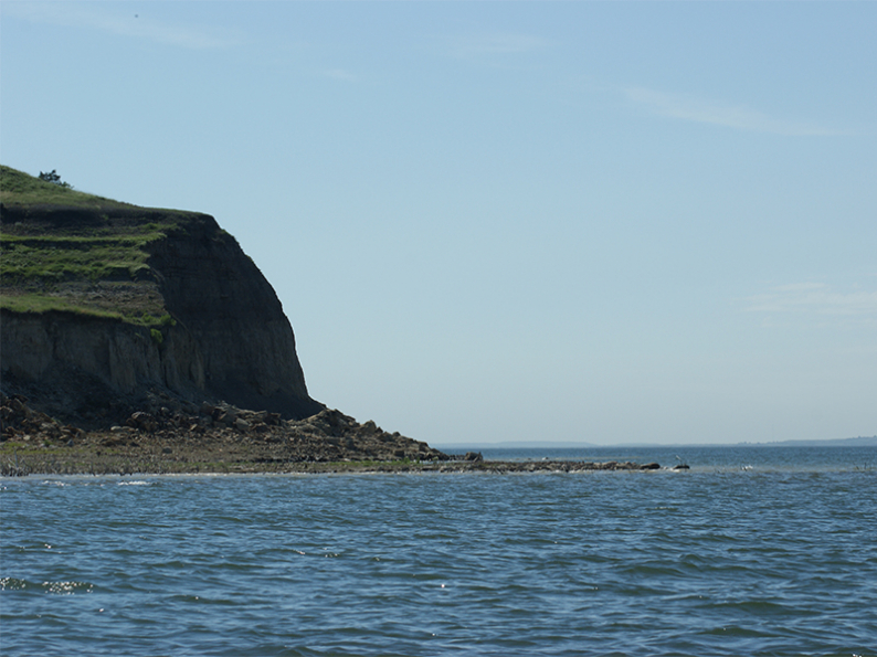
The 2017 runoff forecast in the Missouri River Basin above Sioux City, Iowa, is 29.7 MAF, 117 percent of normal. Runoff above Sioux City, Iowa in April was 2.7 MAF, 93 percent of normal. As of May 1, the mountain snowpack was 98 percent of the normal peak in the reach above Fort Peck and 147 percent of the normal peak in the reach from Fort Peck to Garrison. Normally the mountain snowpack peaks in mid-April. This year’s mountain snowpack will have a later-than-normal melt. View the mountain snowpack graphic here: www.nwd-mr.usace.army.mil/rcc/reports/snow.pdf.
Reservoir Forecasts
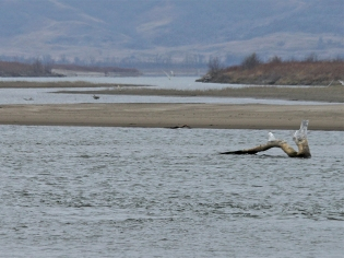
Gavins Point Dam releases averaged 28,500 cubic feet per second (cfs) during April, increased in mid-May, downstream conditions permitting, to prevent endangered least terns and threatened piping plovers from nesting on low sandbars. These sandbars could be inundated later in the summer when higher releases are needed to meet downstream flow targets. Releases were expected to increase to approximately 34,000 cfs as the nesting season begins. Gavins Point reservoir ended April at elevation 1206.1 feet and was expected to remain near 1206.0 feet during May.
Fort Randall Dam releases averaged 26,000 cfs in April and were to be adjusted as necessary to maintain the desired reservoir elevation at Gavins Point Dam. The reservoir ended April at elevation 1356.0 feet, rising 1.0 feet during the month.
Big Bend Dam releases averaged 23,200 cfs in April and were expected to average 25,400 cfs in May. The reservoir was expected to remain near its normal elevation of 1420.0 feet during May.
Oahe Dam releases averaged 26,100 cfs during April, expected to average 24,800 cfs in May. The reservoir ended April at elevation 1608.3 feet, rising 0.5 feet during the month. The reservoir level was expected to rise during May due to increases in Garrison releases and spring rains, ending the month near elevation 1610.2 feet.
Garrison Dam releases averaged 26,700 cfs during April. Releases were increased from 28,000 cfs to 30,000 cfs in early May. Releases will be increased to 35,000 cfs around mid-May. Garrison reservoir ended April at elevation 1841.2 feet, rising 0.2 feet during the month. The reservoir level was expected to rise to elevation 1842.2 during May.
Fort Peck Dam releases averaged 6,300 cfs during April and were increased from 6,500 cfs to 8,000 cfs in early May, and were to be further increased to 10,000 cfs around mid-May. The reservoir ended April at elevation 2237.2 feet, rising 1.0 feet during the month. The reservoir was expected to rise during May ending the month near elevation 2238.2 feet.
The forecast reservoir releases and elevations discussed above are not definitive. Additional precipitation, lack of precipitation or other circumstances could cause adjustments to the reservoir release rates. •


Ice anglers in southwestern North Dakota should note...MORE

With Virginia politicians introducing more than 120 firearms bills, there's no...MORE
Winston Churchill once said, “You can always count on Americans to...MORE

DO YOU KNOW A HERO? Someone who has done something extraordinary?...MORE

All signs are pointing to one of the best Devils Lake...MORE

The Sportsmen’s Alliance Foundation (SAF) filed a notice of its intent...MORE